
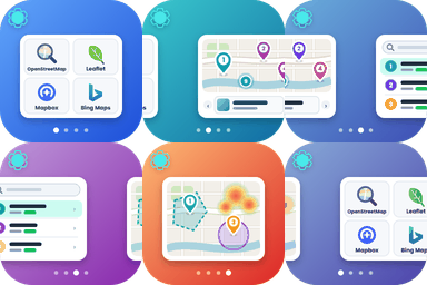
Interactive OpenStreetMap and Leaflet maps with unlimited markers, categories and clustering. No Google API key and no requests to Google.
★ 4.6/5 (86)10,000+ active installations
- Version
- 1.7.0
- WordPress
- 5.9+
- PHP
- 7.3+
- Updated
- 17 Nov 2026
WORDPRESS RESOURCES
Explore public plugin information from the official WordPress.org directory. Compare what a plugin does, its requirements and update history before adding it to your website.
Explore WordPress hosting →7 matching plugins reported by WordPress.org · Page 1 of 1
Source: WordPress.org
Data refreshed 18 Nov 2026 19:56 UTC
Interactive OpenStreetMap and Leaflet maps with unlimited markers, categories and clustering. No Google API key and no requests to Google.

By Gurbhagat Singh
Display addresses on beautiful, interactive maps using OpenStreetMap. An open-source alternative to Google Maps that requires no API key.
By 100plugins
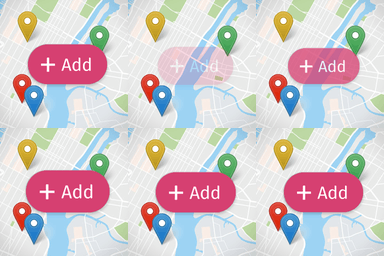
Create custom interactive maps with free Leaflet-based styles, no Google Maps API key, frontend marker submissions, search and filters.

By Camille V
Version 2.3.5 Geolocate your posts and display them on an interactive OpenStreetMap map using a simple shortcode. Customize your markers and map.

By emendo_seb
Link to the French government service (co-marquage): service-public.fr

By KI6CR-Chris
Show off SOTA and POTA activations: GPX hike maps, elevation charts, hiking stats, contact tables, and interactive contact maps.
By troyhallisey
CartoPress allows you to geocode your WP site's posts and pages, and connect your data directly to CartoDB to create awesome interactive maps.
CHOOSE WHAT YOUR WEBSITE NEEDS
Start with the task you need to solve. Compare features, WordPress and PHP requirements, update history and the author’s documentation. Test changes on a private copy and avoid adding several plugins for the same job.
This independent directory displays plugin information on WebFulHost and links to the official source. Packages are not mirrored or installed here. A plugin can include paid extensions or services with separate terms from its author.